
North Charleston topographic map
Interactive map
Click on the map to display elevation.
About this map
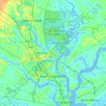
Name: North Charleston topographic map, elevation, terrain.
Average elevation: 5 m
Minimum elevation: -5 m
Maximum elevation: 26 m
Other topographic maps
Click on a map to view its topography, its elevation and its terrain.
Charleston
États-Unis d'Amérique > Caroline du Sud > Charleston County
Charleston, Charleston County, Caroline du Sud, États-Unis d'Amérique
Average elevation: 4 m