
Lutterzand topographic map
Interactive map
Click on the map to display elevation.
About this map
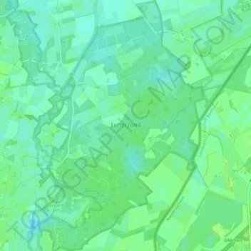
Name: Lutterzand topographic map, elevation, terrain.
Average elevation: 30 m
Minimum elevation: 24 m
Maximum elevation: 36 m
Other topographic maps
Click on a map to view its topography, its elevation and its terrain.
Tankenberg
Nederland > Overijssel > De Lutte
Tankenberg, de Lutte, Losser, Overijssel, Nederland, 7587 MK, Nederland
Average elevation: 58 m