
南览河 topographic map
Interactive map
Click on the map to display elevation.
About this map
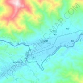
Name: 南览河 topographic map, elevation, terrain.
Location: 南览河, 勐海县, 西双版纳傣族自治州, 云南省, 666100, 中国 (21.69066 99.99821 21.70665 100.09536)
Average elevation: 847 m
Minimum elevation: 616 m
Maximum elevation: 1,743 m
Other topographic maps
Click on a map to view its topography, its elevation and its terrain.