
Atlanta topographic map
Interactive map
Click on the map to display elevation.
About this map
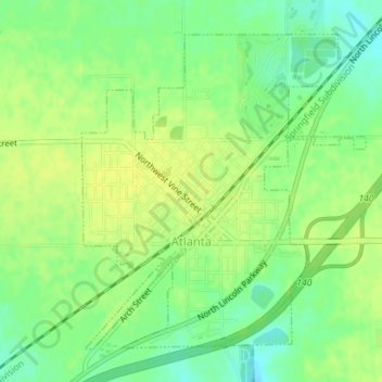
Name: Atlanta topographic map, elevation, terrain.
Location: Atlanta, Logan County, Illinois, United States (40.25205 -89.24339 40.27428 -89.21708)
Average elevation: 218 m
Minimum elevation: 206 m
Maximum elevation: 225 m
Other topographic maps
Click on a map to view its topography, its elevation and its terrain.
Lake Fork
United States > Illinois > Logan County
Lake Fork, Logan County, Illinois, 62541, United States
Average elevation: 181 m
Lincoln
United States > Illinois > Logan County
Lincoln, Logan County, Illinois, 62656, United States
Average elevation: 178 m
Broadwell
United States > Illinois > Logan County
Broadwell, Logan County, Illinois, United States
Average elevation: 180 m