
Al Balid topographic map
Interactive map
Click on the map to display elevation.
About this map
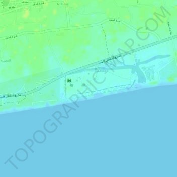
Name: Al Balid topographic map, elevation, terrain.
Location: Al Balid, Salalah, Dhofar Governorate, 216, Oman (16.99552 54.12331 17.01552 54.14331)
Average elevation: 4 m
Minimum elevation: -1 m
Maximum elevation: 13 m