
Ocotlán topographic map
Interactive map
Click on the map to display elevation.
About this map
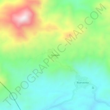
Name: Ocotlán topographic map, elevation, terrain.
Location: Ocotlán, San Juan Cacahuatepec, Oaxaca, México (16.62556 -98.22306 16.66556 -98.18306)
Average elevation: 596 m
Minimum elevation: 328 m
Maximum elevation: 1,126 m