
麻麻乡 topographic map
Interactive map
Click on the map to display elevation.
About this map
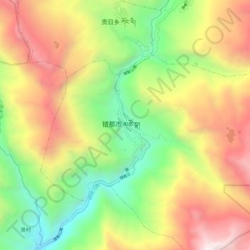
Name: 麻麻乡 topographic map, elevation, terrain.
Location: 麻麻乡, 错那市, 山南市, 西藏自治区, 中国 (27.83693 91.75440 27.91693 91.83440)
Average elevation: 3,685 m
Minimum elevation: 2,506 m
Maximum elevation: 5,116 m
Other topographic maps
Click on a map to view its topography, its elevation and its terrain.