
Zoersel topographic map
Interactive map
Click on the map to display elevation.
About this map
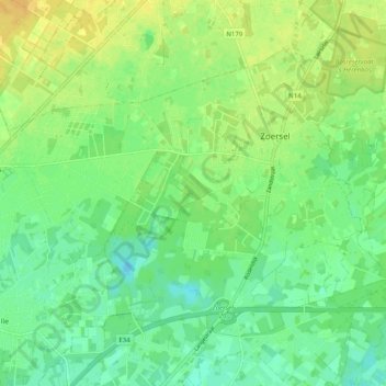
Name: Zoersel topographic map, elevation, terrain.
Location: Zoersel, Anvers, Flandre, Belgique (51.23926 4.64402 51.28566 4.74334)
Average elevation: 16 m
Minimum elevation: 4 m
Maximum elevation: 29 m