
Monduli topographic map
Interactive map
Click on the map to display elevation.
About this map
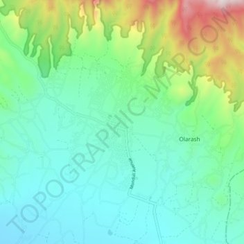
Name: Monduli topographic map, elevation, terrain.
Location: Monduli, Arusha, Northern Zone, Tanzanie (-3.34103 36.40633 -3.26103 36.48633)
Average elevation: 1,613 m
Minimum elevation: 1,342 m
Maximum elevation: 2,469 m