
花香乡 topographic map
Interactive map
Click on the map to display elevation.
About this map
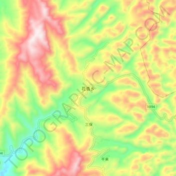
Name: 花香乡 topographic map, elevation, terrain.
Location: 花香乡, 东兰县, 河池市, 广西壮族自治区, 中国 (24.47041 107.56694 24.55041 107.64694)
Average elevation: 703 m
Minimum elevation: 325 m
Maximum elevation: 1,100 m
Other topographic maps
Click on a map to view its topography, its elevation and its terrain.