
Landmarks topographic map
Interactive map
Click on the map to display elevation.
About this map
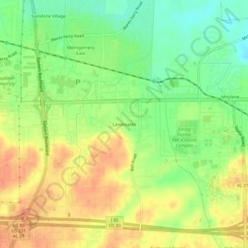
Name: Landmarks topographic map, elevation, terrain.
Location: Landmarks, Montgomery County, Alabama, 36119, USA (32.35847 -86.21441 32.39847 -86.17441)
Average elevation: 72 m
Minimum elevation: 49 m
Maximum elevation: 92 m