
Sèvremoine topographic map
Interactive map
Click on the map to display elevation.
About this map
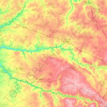
Name: Sèvremoine topographic map, elevation, terrain.
Average elevation: 91 m
Minimum elevation: 24 m
Maximum elevation: 141 m
Other topographic maps
Click on a map to view its topography, its elevation and its terrain.
La Renaudière
França > País do Loire > Sèvremoine
La Renaudière, Sèvremoine, Cholet, Maine-et-Loire, País do Loire, França metropolitana, 49450, França
Average elevation: 90 m