
Garson topographic map
Interactive map
Click on the map to display elevation.
About this map
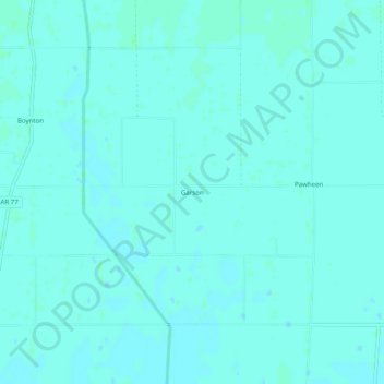
Name: Garson topographic map, elevation, terrain.
Location: Garson, Mississippi County, Arkansas, 72438, USA (35.95396 -90.24760 35.99396 -90.20760)
Average elevation: 73 m
Minimum elevation: 71 m
Maximum elevation: 76 m