
兴宾区 topographic map
Interactive map
Click on the map to display elevation.
About this map
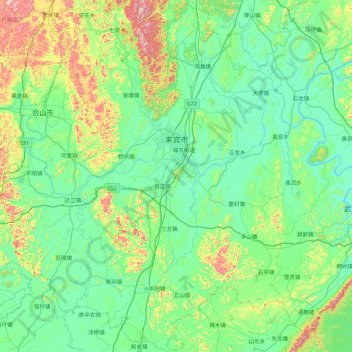
Name: 兴宾区 topographic map, elevation, terrain.
Location: 兴宾区, 来宾市, 广西壮族自治区, 中国 (23.26934 108.72710 24.06776 109.59517)
Average elevation: 158 m
Minimum elevation: 37 m
Maximum elevation: 656 m
Other topographic maps
Click on a map to view its topography, its elevation and its terrain.