
Darbhanga topographic map
Interactive map
Click on the map to display elevation.
About this map
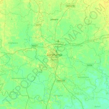
Name: Darbhanga topographic map, elevation, terrain.
Location: Darbhanga, Darbhanga District, Bihar, 846004, India (25.99700 85.73951 26.31700 86.05951)
Average elevation: 50 m
Minimum elevation: 43 m
Maximum elevation: 58 m