
Pigeon Forge topographic map
Interactive map
Click on the map to display elevation.
About this map
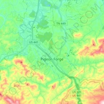
Name: Pigeon Forge topographic map, elevation, terrain.
Location: Pigeon Forge, Sevier County, Tennessee, USA (35.76209 -83.64089 35.82880 -83.51441)
Average elevation: 370 m
Minimum elevation: 238 m
Maximum elevation: 665 m