
Stabroek topographic map
Interactive map
Click on the map to display elevation.
About this map
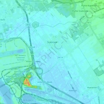
Name: Stabroek topographic map, elevation, terrain.
Location: Stabroek, Anvers, Flandre, 2940, Belgique (51.29709 4.32617 51.35670 4.41715)
Average elevation: 5 m
Minimum elevation: -7 m
Maximum elevation: 41 m