
Tương Dương topographic map
Interactive map
Click on the map to display elevation.
About this map
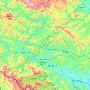
Name: Tương Dương topographic map, elevation, terrain.
Location: Tương Dương, Tỉnh Nghệ An, Vietnam (18.97994 104.26410 19.66144 104.92975)
Average elevation: 550 m
Minimum elevation: 18 m
Maximum elevation: 2,108 m