
库赛湖 topographic map
Interactive map
Click on the map to display elevation.
About this map
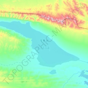
Name: 库赛湖 topographic map, elevation, terrain.
Location: 库赛湖, 治多县, 玉树藏族自治州, 青海省, 中国 (35.62149 92.58924 35.83653 93.09131)
Average elevation: 4,702 m
Minimum elevation: 4,464 m
Maximum elevation: 5,755 m
Other topographic maps
Click on a map to view its topography, its elevation and its terrain.