
Maenporth topographic map
Interactive map
Click on the map to display elevation.
About this map
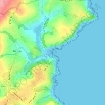
Name: Maenporth topographic map, elevation, terrain.
Location: Maenporth, Mawnan Smith, England, TR11 5HN, United Kingdom (50.11553 -5.10152 50.13553 -5.08152)
Average elevation: 28 m
Minimum elevation: 0 m
Maximum elevation: 101 m