
Bethania topographic map
Interactive map
Click on the map to display elevation.
About this map
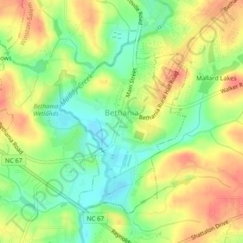
Name: Bethania topographic map, elevation, terrain.
Location: Bethania, Forsyth County, North Carolina, 27010, USA (36.17128 -80.34662 36.19154 -80.32905)
Average elevation: 258 m
Minimum elevation: 230 m
Maximum elevation: 286 m