Geolocate

Mambwe topographic map

Interactive map

Click on the map to display elevation.

About this map

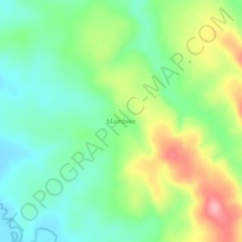
Name: Mambwe topographic map, elevation, terrain.

Location: Mambwe, Tanganyika, Democratic Republic of the Congo (-7.32000 28.48000 -7.28000 28.52000)

Average elevation: 769 m

Minimum elevation: 720 m

Maximum elevation: 855 m

Other topographic maps

Click on a map to view its topography, its elevation and its terrain.

Tanganyika

Democratic Republic of the Congo > Tanganyika

Tanganyika, Democratic Republic of the Congo

Average elevation: 1,038 m

Nsenga

Democratic Republic of the Congo > Tanganyika > Nsenga

Nsenga, Tanganyika, Democratic Republic of the Congo

Average elevation: 1,601 m