
Make a donation
Isla Plaza Sur topographic map
Click on the map to display elevation.
Make a donation
Isla Plaza Sur
South Plaza (Spanish: Isla Plaza Sur) is a small island off the east coast of Santa Cruz in the Galápagos Islands. It has an area of 0.13 km2 and a maximum altitude of 23 metres.
Make a donation
About this map
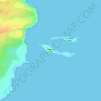
Name: Isla Plaza Sur topographic map, elevation, terrain.
Average elevation: 5 m
Minimum elevation: 0 m
Maximum elevation: 38 m
Make a donation
Other topographic maps
Click on a map to view its topography, its elevation and its terrain.
San Salvador
Ecuador > Galápagos > Cantón Santa Cruz
The city is located in the Boquerón Volcano Valley, a region of high seismic activity. The city's average elevation is 659 meters (2,162 feet) above sea level, but ranges from a highest point of 1,186 meters (3,891 feet) above sea level to a lowest point of 596 m (1,955 ft) above sea level.
Average elevation: 81 m