
Aia topographic map
Interactive map
Click on the map to display elevation.
About this map
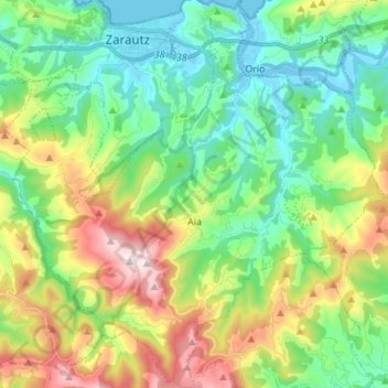
Name: Aia topographic map, elevation, terrain.
Location: Aia, Urola-Kosta, Gipuzkoa, Basque Country, 20809, Spain (43.19355 -2.21585 43.29355 -2.08199)
Average elevation: 229 m
Minimum elevation: -7 m
Maximum elevation: 710 m