
Limoux topographic map
Interactive map
Click on the map to display elevation.
About this map
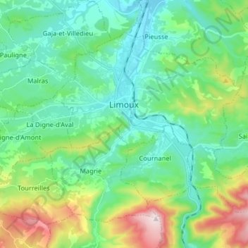
Name: Limoux topographic map, elevation, terrain.
Location: Limoux, Aude, Occitânia, França metropolitana, 11300, França (43.01140 2.18033 43.08160 2.30943)
Average elevation: 281 m
Minimum elevation: 153 m
Maximum elevation: 653 m