
Thank you for supporting this site ❤️
Make a donation
Make a donation
Hillat `Aaytarba topographic map
Click on the map to display elevation.
Thank you for supporting this site ❤️
Make a donation
Make a donation
About this map
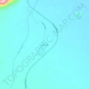
Name: Hillat `Aaytarba topographic map, elevation, terrain.
Location: Hillat `Aaytarba, Karora, Tokar, Red Sea State, Sudan (17.87560 38.30090 17.91560 38.34090)
Average elevation: 116 m
Minimum elevation: 95 m
Maximum elevation: 377 m
Thank you for supporting this site ❤️
Make a donation
Make a donation