
Lungwebungu River topographic map
Interactive map
Click on the map to display elevation.
About this map
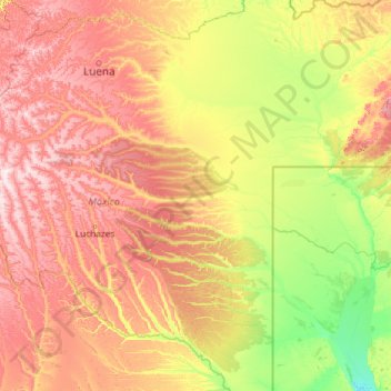
Name: Lungwebungu River topographic map, elevation, terrain.
Location: Lungwebungu River, Moxico, Angola (-14.32048 18.51410 -12.34318 23.20882)
Average elevation: 1,187 m
Minimum elevation: 1,008 m
Maximum elevation: 1,625 m