
Gibson topographic map
Interactive map
Click on the map to display elevation.
About this map
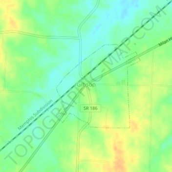
Name: Gibson topographic map, elevation, terrain.
Location: Gibson, Gibson County, Tennessee, USA (35.86850 -88.85266 35.88159 -88.83627)
Average elevation: 123 m
Minimum elevation: 109 m
Maximum elevation: 140 m