
Mihovljan topographic map
Interactive map
Click on the map to display elevation.
About this map
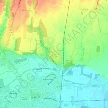
Name: Mihovljan topographic map, elevation, terrain.
Location: Mihovljan, Csakathurn, Gespanschaft Murinsel, 40000, Kroatien (46.38497 16.42694 46.42497 16.46694)
Average elevation: 176 m
Minimum elevation: 157 m
Maximum elevation: 204 m