
Muleba topographic map
Interactive map
Click on the map to display elevation.
About this map
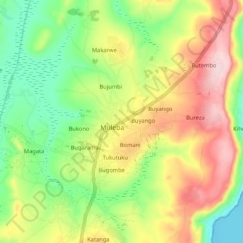
Name: Muleba topographic map, elevation, terrain.
Location: Muleba, Kagera, Lake Zone, Tanzanie (-1.87987 31.61810 -1.79987 31.69810)
Average elevation: 1,258 m
Minimum elevation: 1,131 m
Maximum elevation: 1,420 m