
Chorente topographic map
Interactive map
Click on the map to display elevation.
About this map
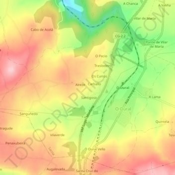
Name: Chorente topographic map, elevation, terrain.
Location: Chorente, Sarria, Lugo, Galicia, 27392, España (42.70591 -7.48275 42.73619 -7.43799)
Average elevation: 626 m
Minimum elevation: 513 m
Maximum elevation: 712 m