
Fox Creek topographic map
Interactive map
Click on the map to display elevation.
About this map
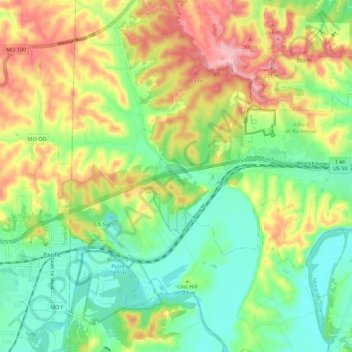
Name: Fox Creek topographic map, elevation, terrain.
Location: Fox Creek, Saint Louis County, Missouri, 63001, USA (38.45770 -90.73478 38.54490 -90.68331)
Average elevation: 182 m
Minimum elevation: 121 m
Maximum elevation: 273 m
Other topographic maps
Click on a map to view its topography, its elevation and its terrain.
Mississippi River
Mississippi River, Pike County, Missouri, 55455-0237, USA
Average elevation: 344 m