
Herndon topographic map
Interactive map
Click on the map to display elevation.
About this map
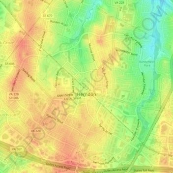
Name: Herndon topographic map, elevation, terrain.
Location: Herndon, Fairfax County, Virginia, USA (38.95325 -77.41359 38.98869 -77.36526)
Average elevation: 111 m
Minimum elevation: 82 m
Maximum elevation: 130 m