
Sharpsburg topographic map
Interactive map
Click on the map to display elevation.
About this map
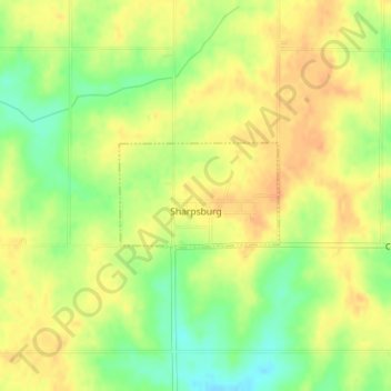
Name: Sharpsburg topographic map, elevation, terrain.
Location: Sharpsburg, Taylor County, Iowa, United States (40.79929 -94.64785 40.80653 -94.63324)
Average elevation: 387 m
Minimum elevation: 364 m
Maximum elevation: 401 m
Other topographic maps
Click on a map to view its topography, its elevation and its terrain.
Gravity
United States > Iowa > Taylor County
Gravity, Taylor County, Iowa, United States
Average elevation: 367 m
Lenox
United States > Iowa > Taylor County > Lenox
Lenox, Taylor County, Iowa, 50851, United States
Average elevation: 389 m
Lenox
United States > Iowa > Taylor County
Lenox, Taylor County, Iowa, 50851, United States
Average elevation: 390 m