
Baton Rouge topographic map
Interactive map
Click on the map to display elevation.
About this map
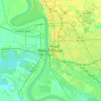
Name: Baton Rouge topographic map, elevation, terrain.
Location: Baton Rouge, East Baton Rouge Parish, Louisiana, USA (30.33838 -91.23504 30.55898 -90.99934)
Average elevation: 12 m
Minimum elevation: 1 m
Maximum elevation: 37 m