
La Grange Park topographic map
Interactive map
Click on the map to display elevation.
About this map
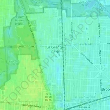
Name: La Grange Park topographic map, elevation, terrain.
Location: La Grange Park, Cook County, Illinois, 60526, USA (41.81923 -87.89086 41.84445 -87.85181)
Average elevation: 193 m
Minimum elevation: 188 m
Maximum elevation: 199 m