
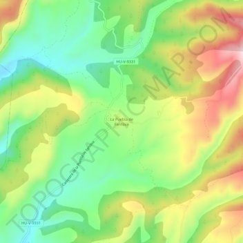
La Puebla de Fantova topographic map
Interactive map
Click on the map to display elevation.
About this map
Name: La Puebla de Fantova topographic map, elevation, terrain.
Location: La Puebla de Fantova, Graus, La Ribagorza, Huesca, Aragon, Spain (42.23913 0.37774 42.27913 0.41774)
Average elevation: 687 m
Minimum elevation: 536 m
Maximum elevation: 896 m