
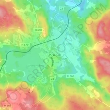
Virserum topographic map
Interactive map
Click on the map to display elevation.
About this map
Name: Virserum topographic map, elevation, terrain.
Location: Virserum, Hultsfreds kommun, Provinz Kalmar, 57080, Schweden (57.29685 15.56685 57.33685 15.60685)
Average elevation: 146 m
Minimum elevation: 101 m
Maximum elevation: 209 m