
Ortaköy topographic map
Interactive map
Click on the map to display elevation.
About this map
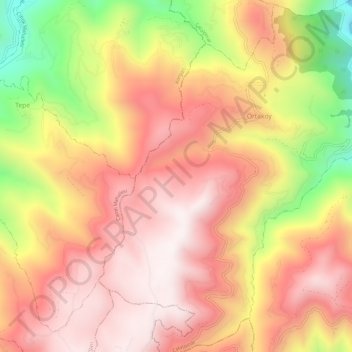
Name: Ortaköy topographic map, elevation, terrain.
Location: Ortaköy, Çatalpınar, Ordu, Black Sea Region, Turkey (40.78728 37.41245 40.83202 37.45961)
Average elevation: 748 m
Minimum elevation: 189 m
Maximum elevation: 1,081 m