
La Panne topographic map
Interactive map
Click on the map to display elevation.
About this map
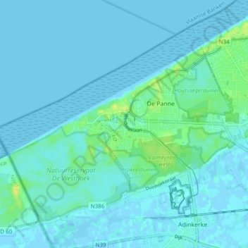
Name: La Panne topographic map, elevation, terrain.
Location: La Panne, Furnes, Flandre-Occidentale, Flandre, 8660, Belgique (51.07584 2.54136 51.11378 2.61755)
Average elevation: 3 m
Minimum elevation: -2 m
Maximum elevation: 18 m