
河西乡 topographic map
Interactive map
Click on the map to display elevation.
About this map
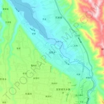
Name: 河西乡 topographic map, elevation, terrain.
Location: 河西乡, 临夏县, 临夏回族自治州, 甘肃省, 中国 (35.67058 103.19143 35.75058 103.27143)
Average elevation: 1,898 m
Minimum elevation: 1,725 m
Maximum elevation: 2,342 m
Other topographic maps
Click on a map to view its topography, its elevation and its terrain.