
학포리 topographic map
Interactive map
Click on the map to display elevation.
About this map
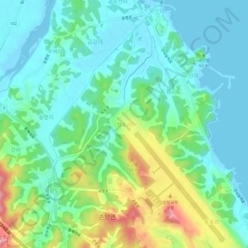
Name: 학포리 topographic map, elevation, terrain.
Location: 학포리, Yangyang, Gangwon, 25041, Corea del Sur (38.05136 128.63782 38.09136 128.67782)
Average elevation: 32 m
Minimum elevation: -3 m
Maximum elevation: 118 m