
Thank you for supporting this site ❤️
Make a donation
Make a donation
Bonbonon topographic map
Click on the map to display elevation.
Thank you for supporting this site ❤️
Make a donation
Make a donation
About this map
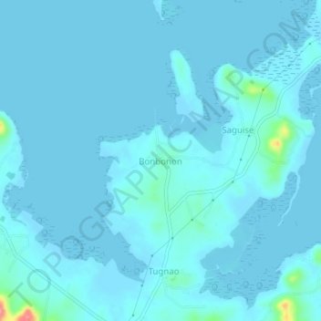
Name: Bonbonon topographic map, elevation, terrain.
Location: Bonbonon, Bohol, Central Visayas, Philippines (10.10472 124.55911 10.14472 124.59911)
Average elevation: 6 m
Minimum elevation: -1 m
Maximum elevation: 96 m
Thank you for supporting this site ❤️
Make a donation
Make a donation