
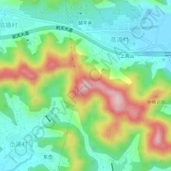
将军山 topographic map
Interactive map
Click on the map to display elevation.
About this map
Name: 将军山 topographic map, elevation, terrain.
Location: 将军山, 象山县, 宁波市, 浙江省, 中国 (29.29450 121.88751 29.29460 121.88761)
Average elevation: 92 m
Minimum elevation: 1 m
Maximum elevation: 270 m
Other topographic maps
Click on a map to view its topography, its elevation and its terrain.