
Pack topographic map
Interactive map
Click on the map to display elevation.
About this map
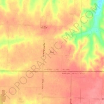
Name: Pack topographic map, elevation, terrain.
Location: Pack, McDonald County, Missouri, USA (36.48674 -94.55300 36.52674 -94.51300)
Average elevation: 339 m
Minimum elevation: 277 m
Maximum elevation: 363 m