
阳平关镇 topographic map
Interactive map
Click on the map to display elevation.
About this map
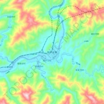
Name: 阳平关镇 topographic map, elevation, terrain.
Location: 阳平关镇, 宁强县, 汉中市, 陕西省, 中国 (32.93021 106.01257 33.01021 106.09257)
Average elevation: 771 m
Minimum elevation: 553 m
Maximum elevation: 1,221 m
Other topographic maps
Click on a map to view its topography, its elevation and its terrain.