
Samfya topographic map
Click on the map to display elevation.
About this map
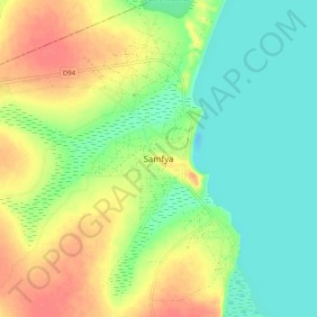
Name: Samfya topographic map, elevation, terrain.
Location: Samfya, Samfya District, Luapula Province, Zambia (-11.40849 29.51166 -11.32849 29.59166)
Average elevation: 1,181 m
Minimum elevation: 1,159 m
Maximum elevation: 1,210 m
Other topographic maps
Click on a map to view its topography, its elevation and its terrain.