
Rotella topographic map
Interactive map
Click on the map to display elevation.
About this map
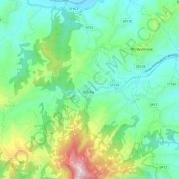
Name: Rotella topographic map, elevation, terrain.
Location: Rotella, Ascoli Piceno, Marken, 63071, Italien (42.92077 13.51339 42.98955 13.58648)
Average elevation: 476 m
Minimum elevation: 249 m
Maximum elevation: 1,080 m