
Snake River topographic map
Interactive map
Click on the map to display elevation.
About this map
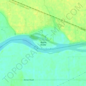
Name: Snake River topographic map, elevation, terrain.
Location: Snake River, Washington County, Idaho, 83672, USA (44.24618 -117.02654 44.24923 -117.00892)
Average elevation: 644 m
Minimum elevation: 635 m
Maximum elevation: 653 m
Other topographic maps
Click on a map to view its topography, its elevation and its terrain.