
Quinta Lobateira topographic map
Interactive map
Click on the map to display elevation.
About this map
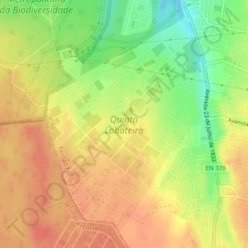
Name: Quinta Lobateira topographic map, elevation, terrain.
Average elevation: 55 m
Minimum elevation: 23 m
Maximum elevation: 75 m
Other topographic maps
Click on a map to view its topography, its elevation and its terrain.
Fernão Ferro
Portugal > Setúbal > Seixal > Fernão Ferro
Fernão Ferro, Seixal, Setúbal, 2865-601, Portugal
Average elevation: 61 m